

a day guide to shenandoah’s skyline drive
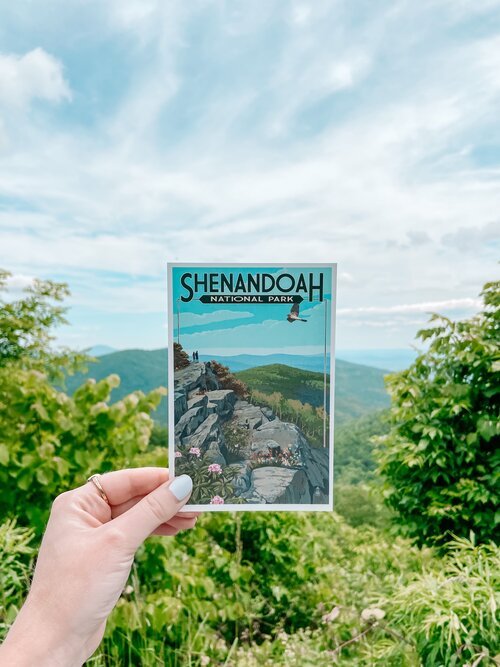
i’m convinced the phrase “take the scenic route” was created after driving through shenandoah national park’s skyline drive. the 105-mile trek takes you across the blue ridge and to the most picturesque mountain views. there are 75 overlooks in total and while you could stop at every one, it would take quite some time to hit them all. if you’ve got a few hours, here’s how you can spend a day in shenandoah national park.
i’d be remiss if i didn’t start off with a bit of history before diving into the guide. shenandoah national park was created in 1935, though travelers had been coming to the area long before it was established. as cars became more easily accessible & affordable, washingtonians craved an escape from the city and found themselves heading 75 miles east of the nation’s capitol & towards the mountains — enter shenandoah’s “greatest single feature,” a sky-line drive.
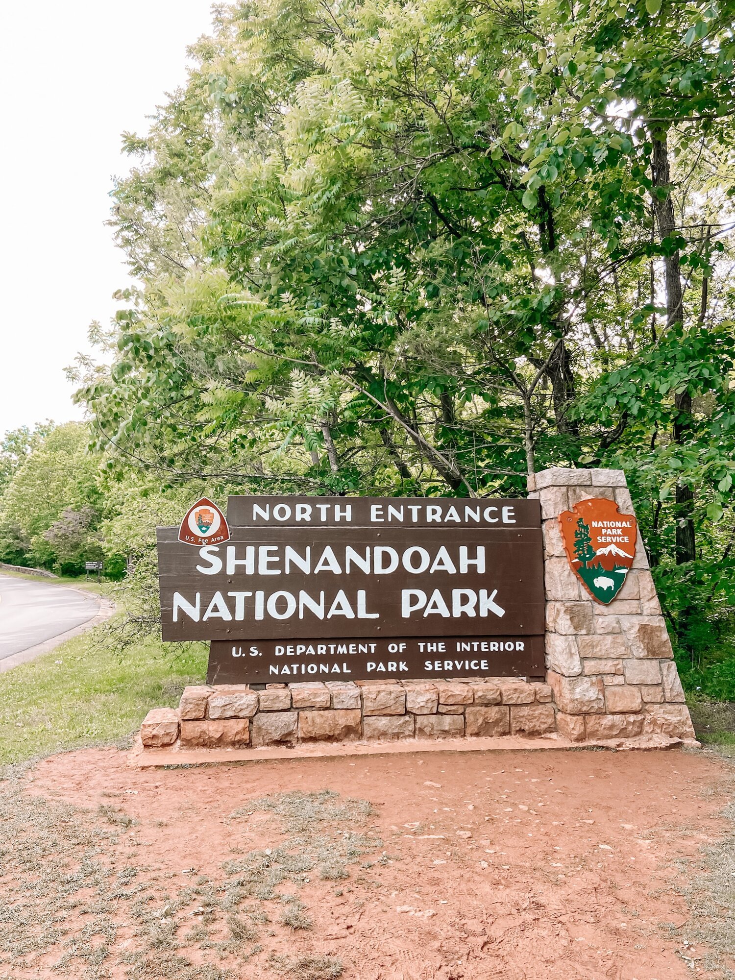
starting at the park’s north entrance in front royal, you’ll have to purchase a pass. admission varies by mode of transportation: $30 per car (noncommercial), $25 per motorcycle and $15 per individual when entering on foot or bicycle. i suggest getting your ticket ahead of time online, especially during peak travel season (like the fall when leaf peepin’ season pops off). your ticket is good for seven consecutive days if you buy a one time pass. you can also purchase an annual pass ($55) if your adventurous heart desires. it’s pretty much a no-brainer, but the majority of the money (80%) goes straight into the park for renovations, improvements & upgrades — money well spent in my opinion!
the first overlook you’ll want to hit is actually at the dickey ridge visitor center. it’s your first glance at the sweeping vista views of the shenandoah valley. the speed limit throughout the park is 35 mph so don’t expect to get anywhere in a hurry — but, if you’ve chosen to cruise down the skyline drive, you’re probably not in a rush anyways.
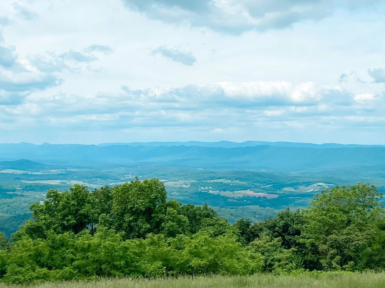
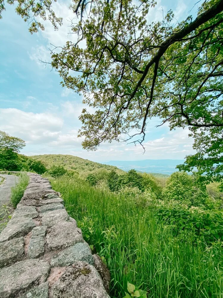
signal knob overlook, just five miles in, sets the stage and gives you a glimpse at why over one million visit per year. nearly 200,000 acres encompass the park and almost 80,000 acres are designated wilderness, the highest level of land protection. park stats aside — it’s a humbling feeling to be looking out over the mountains.
hog back overlook after mile marker 20 is another stunner. i don’t think i’ll ever get tired of the mountains. one thing i loved about skyline drive, besides the views, is how accessible the overlooks are. there’s so much space to pull off and more than enough room to hang out for while & enjoy, without worrying about crowds. i didn’t come across more than a few cars at each overlook, though i’m sure peak season may get a little busy.
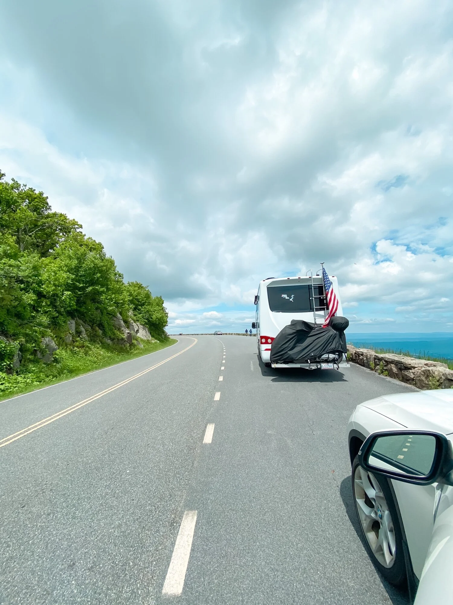
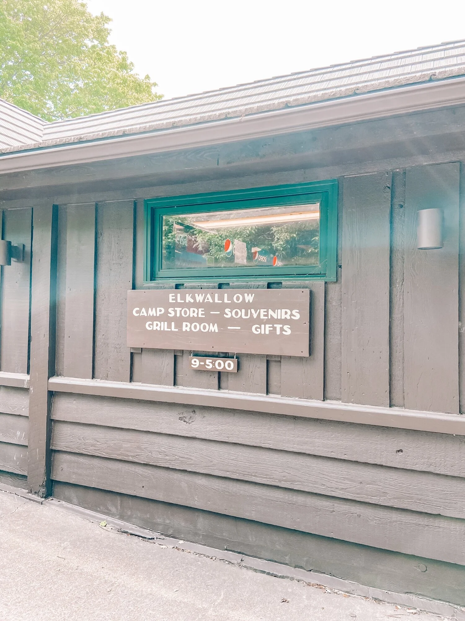
if you’re anything like me, by now you’ll probably need a road trip snack. lucky for you, elkwallow wayside is down the road from hogback overlook at mile marker 24. the small grocery/convenient store has everything you’d need if staying for a day (or a few). you’ll find camping provisions, snacks and park souvenirs. there are two more waysides in the park to fuel up: big meadows at mile marker 51 & loft mountain at mile marker 79.
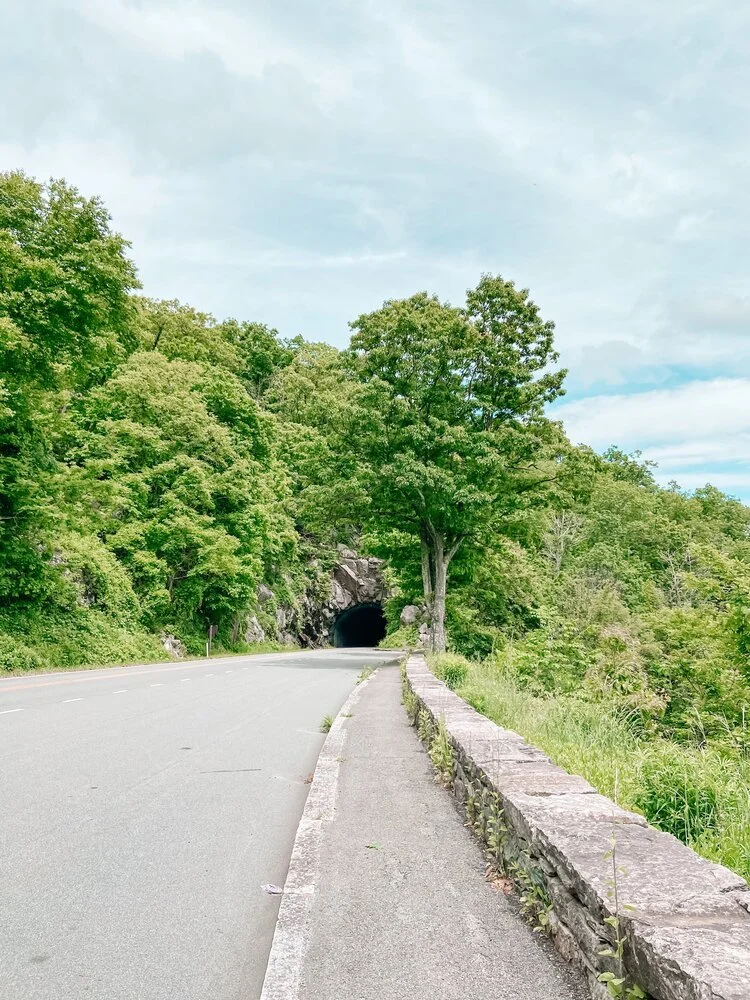
mary’s rock tunnel & overlook is your next point of interest. the 600-foot tunnel was an engineering feat when it was completed in 1932. the other side of the tunnel (southbound) has a pull-off for more scenic views of the valley. if traveling with an rv or travel trailer, you’ll need to be able to clear the 12’8” tunnel.
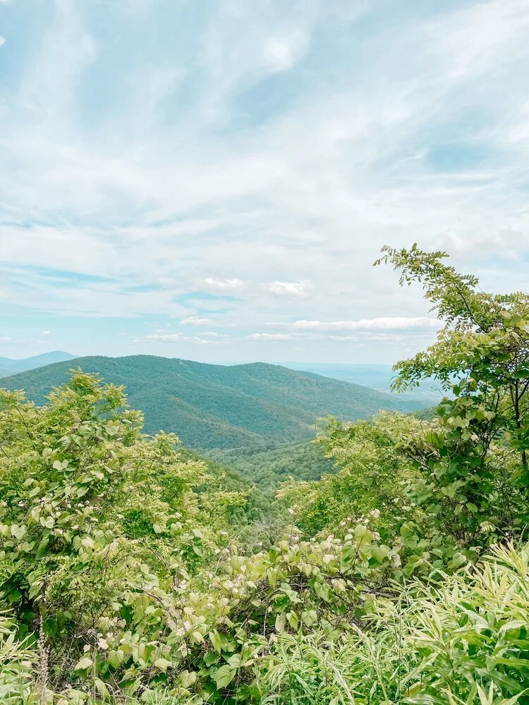
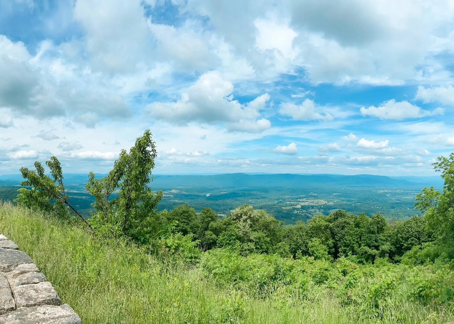
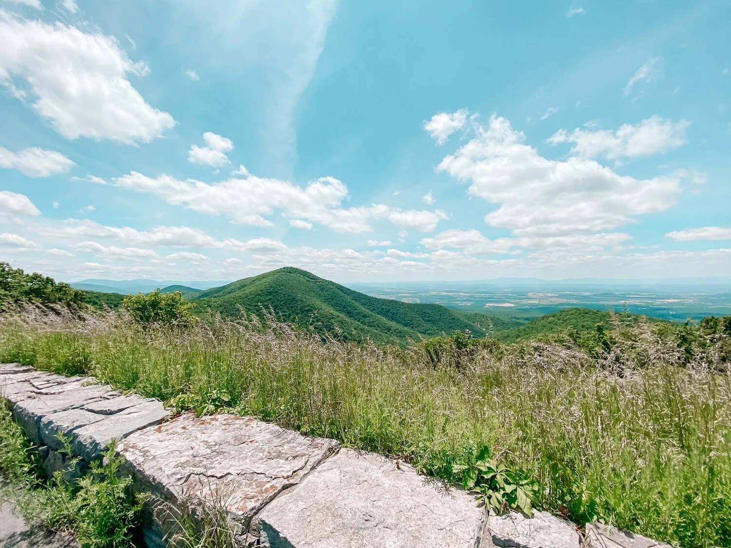
the bald face mountain overlook at mile marker 61 is my favorite in the whole park. when i pulled up, no one was here and all i could see for miles were mountains. the birds were chirping and the breeze was blowing and it was so tranquil.

side note: all along the scenic two-lane, you’ll find signs for hiking trails. if i had more time, i definitely would have stopped as there are over 500 miles of trails, including 100 miles of the appalachian trail! there are a variety of hikes: easy to moderate, 1 - 7+ miles, best birdwatching trails, even horse-friendly! more information on hiking trails can be found here.
next up is rockytop overlook at mile marker 78, a place that’s seen a few fires in it’s day. and although devastating, fires can actually help the forest. according to the national park service, when controlled, fires can remove forest floor debris and make room for new plant growth. the most recent fire in 2016 swept through nearly 10,000 acres and was likely caused by someone’s negligence. even though there are ecological benefits to forest fires, being careless can lead to the destruction of wildlife. think about what smokey the bear would do!
turk mountain overlook, just past mile marker 93, shows — you guessed it — turk mountain. i’m slowly running out of different ways to say “it’s so pretty” and “this overlook is just captivating,” but each view is almost more picturesque than the last and no two are the same.
finally, we’re at the last overlook in the park (or the first, if you travel south to north,) mccormick gap. savor one last view of the shenandoah valley before tackling the next leg of your journey. the park has various campgrounds & lodges if you simply can’t get enough and need a few days to explore. i know i’ll be back for a longer trip next time!